Robohub.org
How can we use drones in the humanitarian and health sector?
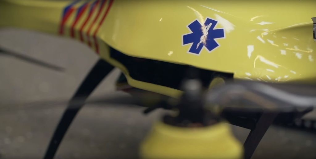
Source: TU Delft Ambulance Drone/Youtube
Ever since I watched the exceptional 2013 TED talk by Raffaello D’Andrea on the athletic power of quadcopters I have been fascinated by the possibilities of unmanned aerial vehicles (UAVs) or, as they’re more commonly called, drones. Finally, it felt like the film-like future I dreamed of for 20 years arrived. Since that video, there has been no end to proposals for which they might be used. No sooner had I been discussing with a friend I wanted an autonomous drone to take holiday photos (without going through the usual stop and say ‘cheese’ routine) I stumbled across an advert for Lily, a drone which does just that. If the claims of the Indigogo project ONAGOfly are to be believed, this type of drone will soon be small enough to fit in your pocket and will cost under $200. Oh, you want a Back to the Future style hoverboard? No problem, thanks to drones.
Photography and sports aside, what serious applications might drones have in the imminent future? We already know they are used with devastating effect militarily, but how can they be used for good and what implications can such a versatile machine have in the humanitarian or health sector? For me, they have potential to revolutionise. Here’s why.
Search and rescue
The advantage for drones to be used in search and rescue operations is self evident: using simple commercially available drones with cameras, you immediately have an extremely manoeuvrable eye-in-the-sky (watch the Drone Racing League to see just how manoeuvrable) that can access places previously only accessible by aircraft at a fraction of the cost. Further development of UAVs with the search and rescue brief in mind include the Kwago drone (video below) that incorporates commercial flight awareness and night-time manoeuvrability being a prime example. Whilst running their search and rescue operations in the Mediterranean during 2015, the Migrant Offshore Aid Station were using eye-in-the-sky drones as a means of expanding the radius of their operation.
https://youtu.be/jr3-K4aCNWI
Surveying
Closely linked to this, the use of autonomous drones in surveying provides a genuinely futuristic option to aid organisations. Using geo-referenced photography (or photogrammetry), UAVs are already being used to quickly survey and produce large 2D and 3D maps of astounding accuracy — particularly within the agriculture and construction industry. However, it is easy to envisage how such tools could be used by humanitarian actors within emergency or refugee situations — for example, a detailed survey of a refugee camp could be conducted by a single person and UAV in a matter of hours, and in addition, this could be updated at regular intervals with minimum additional work. The non-profit Drone Adventures is doing just this; having worked in Haiti with the International Organisation on Migration on 3D mapping for flood prevention (video below); and with MEDAIR in the Philippines on surveying areas affected by Typhoon Haiyan.
HumanITas Solutions is another organisation that has foreseen the potential or UAV surveys in humanitarian work and is about to release a virtual environment to utilise this. Using UAVs that carry commercial smartphones and tablets instead of specialist equipment, their software works as an operating system specifically focused for humanitarian teams. With their android or OS app turned on, the phone can be fixed to the drone and sent to autonomously map areas — working alone or in tandem with other drones — using GPS and photography, by stitching these images together, complete maps and 3D models can be quickly collected. The software then allows for annotation, collaboration and import/export with other teams. The beauty of this system is the use of conventional equipment — understanding that often getting experts quickly to disaster zone can be difficult. Check out the video below:
As with all innovation, technology is the deciding factor on feasibility. The Swiss Foundation for Mine Action (FSA) has been using drone observation in mine detection for many years, for obvious reasons. Though not there yet, there are projects which aim to mount instruments — such as thermal imaging — on the drones they fly over suspected minefields, providing and invaluable resource in the fight against civilian deaths. This doesn’t seem like an unreasonable goal: drones that can map radiation already exist, whilst there is a renewed interest in using drones for gas detection after a recent leak in California.
As surveying becomes more widespread, so too the technology is improving. A new startup, Nomoko, claims to have built a 1,000 mega pixel camera that, if mounted on a UAV, could map huge areas to 1cm accuracy in a fraction of the time it currently takes — the company claims that 10,000 drones mounted with its camera could map the world at this accuracy in just 60 days at a cost of around $100 million. Currently, a single satellite will set you back at least this amount and would take two years to achieve the task at a much lower resolution. Beyond just being a nice sales pitch, such accuracy could allow the data to be used in the search for survivors after a natural disaster by comparing photos taken of the same scene at short, regular intervals.
Drones as delivery tools
UAVs are evidently well-equipped to access difficult terrain, and this is something that Médecins Sans Frontières (MSF) exploited when conducting a trial of a UAV delivery system for lab samples. Traditional microscopy tuberculosis (TB) testing requires sputum samples to be tested within three hours to be valid, (newer GeneXpert sampling allows 3 days) but such a time-constraint was inhibiting in remote and inaccessible locations such as Gulf Province; a swampy region in Papua New Guinea, to which ‘normal’ access by car took four hours. With the UAVs, delivery times were slashed to just one hour. The trial was successful — as was acceptance by the local population — and such a system could provide an excellent means to improve infectious disease surveillance when time is of the essence. Could such a system improve the emergency response to viruses such as Lassa or Ebola, where quarantine is necessary? Could a suspected case be quarantined in their home whilst an UAV carrying samples is dispatched to see if bringing them to a health facility is really necessary?
Drones could also facilitate speedy delivery in the opposite direction. Again, UAVs almost always offer a cheaper alternative to conventional aircraft. Capitalising on this for cold-chain products seems like an obvious move. Of course, the tech is the limiting factor: battery life and payload are preventing goods of reasonable size being delivered any meaningful distance. However, future developments could change this: solar-powered drones are one option or drones with combustion engines another. What about UAVs that can automatically dock with charging stations (possibly solar powered) along a set route? Effectively hopping from one station to the next as far as required…
The SaveME smartphone UAV, uses a quadcopter frame to transport a smartphone and can be used to find help in the event of being trapped. However, it is also proposed as a tool for prescription collection. In the future, could sending your drone to the local pharmacy to collect your prescription become the norm when you are too ill to leave your house? All interesting proposals and one specifically targeting the delivery of medical supplies in the humanitarian sector was recently proposed by Norman Foster. The notion of delivery is starting to be explored with a more specialised health focus in two areas: organ harvest and cardiac arrest.
Drones in emergency response
There are few medical situations where time is more imperative than organ transplant — a heart can only survive for 4-6 hours outside the body so, in order to be matched to a recipient with the same blood type, body size and geographic location, the process must occur very quickly. Research has shown that, though for the victim there is no clear medical advantage to air ambulance over ground ambulance for arrival on the scene, the air evacuation did provide more organs than traditional ground units. Could drones offer the paramedics on the scene the tool to harvest and send organs on a par with the system of getting the organs to the hospital by air within the urgent time window?
Cardiac arrest is another situation where time is of the essence. In cases where defibrillation is the only thing that can revive someone, drones might again provide the answer. Alec Momont, a Dutch engineering student, has proposed mounting a defibrillator on a UAV which can lock on to the GPS of the smartphone making the emergency call and arrive on the scene on minutes. The idea is particularly bright because modern defibrillators operate automatically and just require correct attachment to the victim’s body — something that the caller could easily do with guidance. Though they are appearing much more frequently around cities in Europe, a rapidly deployable defibrillator could provide an invaluable service in suburban areas on the outskirts of places with many public buildings. The project created a prototype, and the video, but it has yet to be developed further.
Vector control
A key process in health development remains vector control. Prevention of malaria, dengue or Zika, relies on limiting their vector: mosquitos; be it through sterilisation, environmental measures or fumigation — as Bill Gates famously wrote, the mosquito is the deadliest creature in the world, being ultimately responsible for 725,000 deaths per year. One drone project — MosquitoCopter — is targeting this problem through the sterilisation route. By releasing sterilised male mosquitos, who will mate with the blood-sucking females and prevent propagation, the mosquito population can be significantly reduced. As with most such projects, the problem becomes accessing the affected areas — MosquitoCopter, does this with a manoeuvrable quadcopter that can be programmed to follow a set route, automatically releasing the sterilised mosquitos at set intervals. A similar concept is also being used to support the Southern Tsetse Eradication Project in Ethiopia — though in this case, the drones are larger and can cover an area of 100km2 per flight. Even at a more basic level, UAVs can help by identifying mosquito breeding sites for direct action and are already being put to good use in Brazil to combat Zika.
Future hurdles
As with all new technology, UAVs are undergoing a delicate phase right now: simply put, governments and regulators don’t yet know how to deal with them in terms of safety (i.e. plane collisions etc.) or security (someone recently mounted a hand gun on a UAV). The regulation of drones therefore, will change drastically in the coming few years and determine their prevalence in our everyday lives. It’s worth noting that UAVs pose a challenge to the control of governments over our skies — an area that has, until this point, has maintained a miraculous safety record through very strict controls — so new challengers to that can be seen as a threat. The Federal Aviation Authority’s legal pursuit of Raphael Pirker, a Swiss drone pilot who was fined $10,000 for making a promotional video using a drone, is a prime example of the confusion and delicate politics surround this emerging area.
In the US and Europe, much of the regulation is in the testing phase, largely pushed by the development of delivery drones in the commercial sector. Last year, testing licenses were issued to a number of projects including a small startup delivering medical supplies to rural communities in Virginia. These small projects will mainly serve to inform regulatory legislation, which will then likely be the foundation in other countries. Amazon is one of the most vocal advocates for the use of commercial drones and the company’s influence will play a huge part in deciding the future of commercial drones. This influence isn’t going unnoticed: in 2015, the internet giant spent $10 million on lobbying in Washington and one suspects that its Prime Air service had a lot to do with this sharp increase. In fairness to the regulators, the proposals by Amazon will (if the video below is to be believed) fundamentally alter the skies over the US and Europe, so proceeding with caution does not seem unreasonable. Once permission is granted, the chances of it being revoked are much smaller.
It’s difficult to envisage exactly how this regulation will play out in developing countries and thus affect the humanitarian possibilities of drones. In the wake of natural disasters, their implementation will almost definitely become a necessity in coordinating the humanitarian response, but particularly in conflict zones, flying UAVs could have negative consequences for aid agencies who wish to avoid association with warring parties. Just the term ‘drone’ itself can conjure images of the US military’s Predator drones, which do look rather similar to some UAVs already being used in vector control. Such associations have already led MSF to reject their use in conflict zones. There have also been cases of the data being collected for humanitarian purposes also being used for law enforcement: a point that could in the future severely damage aid organisations’ reputation for neutrality if similar events occur in conflict zones. It seems probable however, that as the use of UAVs become far more widespread, their possible military connotations will be lessened. In terms of acceptance by the local population, existing humanitarian UAV projects have all seemed to show that, as long as they are well informed about the project and how the drones work, this is not a problem.
A 2014 report by OCHA did try to consider some of the wider issues and possible applications for UAVs in the humanitarian sector, but the technology is moving so fast, this is already largely outdated. The FSA is currently trying to update and consolidating the existing knowledge on drone projects in the humanitarian sector as a means to increase awareness of the UAV tools available to aid workers and to propose guidelines for UAV use in the field.
The final hurdle for the adoption of such useful technologies is cost. Professional UAVs are not cheap, and the hardware and software for a project like those run by Drone Adventures would cost around $20,000 and there are maintenance and repair costs to factor in to that, plus training. Other issues such as drone malfunction or hijack could also prove costly for organisations using drones for humanitarian purposes.
Conclusions
Having explored a range of possibilities for UAVs in the health and humanitarian sector, it seems clear that the coming decade will bring with it an extraordinary amount of change — in no small part due to drones. Their obvious benefit as search and survey tools will probably be their first point of mass use. With improvements to battery life and payload weight, delivery will quickly become important too and projects such as the TB sample delivery should be capitalised upon. The use of more autonomous drones will no doubt go in directions currently impossible to imagine, and this is exactly why UAVs are so exciting: they offer a blank canvas on three axes upon which anyone can imprint their ideas.
Originally posted innovatinghealth.eu/blog
tags: c-Aerial, cx-Politics-Law-Society